


Why comparison matters for city teams
Urban planners and transport engineers now choose sensor suites rather than single sensors; decisions hinge on measurable trade-offs. Start with how systems handle moving targets: does the solution prioritise frame rate over long-range accuracy, or vice versa? Early on, teams test high speed motion analysis with short flight corridors to see how well target tracking holds up under real traffic speeds — a practical preview of live deployment scenarios. These tests expose latency and throughput limits quickly, and they shape procurement conversations in plain terms.

Key dimensions to compare
A clear checklist lets teams compare apples to apples. Focus on:
– Spatial accuracy: absolute position error at ground level, especially for multi-story façades.
– Temporal fidelity: frame rate and end-to-end latency for real-time guidance.
– State estimation: how the platform fuses IMU, camera, and radar data (sensor fusion) and supports 6DoF pose outputs for mapping.
– Integration footprint: APIs, telemetry formats, and whether the system supports SLAM or external georeferencing.
Where relevant, assess vendor claims with small field trials rather than relying on slideware.
How platforms differ in practice
Some vendors tune rigs for long-range detection but accept higher latency; others deliver millimetre-level pose estimates with 6DoF outputs at close range. Compare these approaches against the city’s operational needs: traffic monitoring, construction site safety, or corridor design. Use a mix of aerial and fixed sensors to validate behaviour across scenarios — the combination often outperforms a single-system approach. When you look at analytics, check whether the vendor exposes raw telemetry and calibration files for independent verification.
Real-world anchor: Singapore’s Smart Nation pilot
Singapore’s Smart Nation experiments offer a useful benchmark. Planners there integrated aerial tracking with street-level sensors to manage delivery drones and traffic simulations. The pilot showed that combining high frame rate aerial capture with ground radar reduced false positives in crowded corridors — not merely a lab result but an operational lesson. Teams reported concrete benefits in simulation accuracy and in reduced manual review time — lessons any discerning procurement team can use.
Alternatives and common mistakes
Relying only on visual odometry is common but risky: occlusion and lighting changes degrade SLAM performance. Overlooking calibration schedules is another mistake — sensors drift, and that drift compounds when you fuse across modalities. Alternatives include fixed LiDAR arrays for persistent zones, or hybrid systems where drone-based mapping supplements ground networks during peak work hours. Each choice changes maintenance cadence and data-storage needs.
Operational production teardown
Run a concise teardown to surface hidden costs and constraints. Steps that work in most cities:
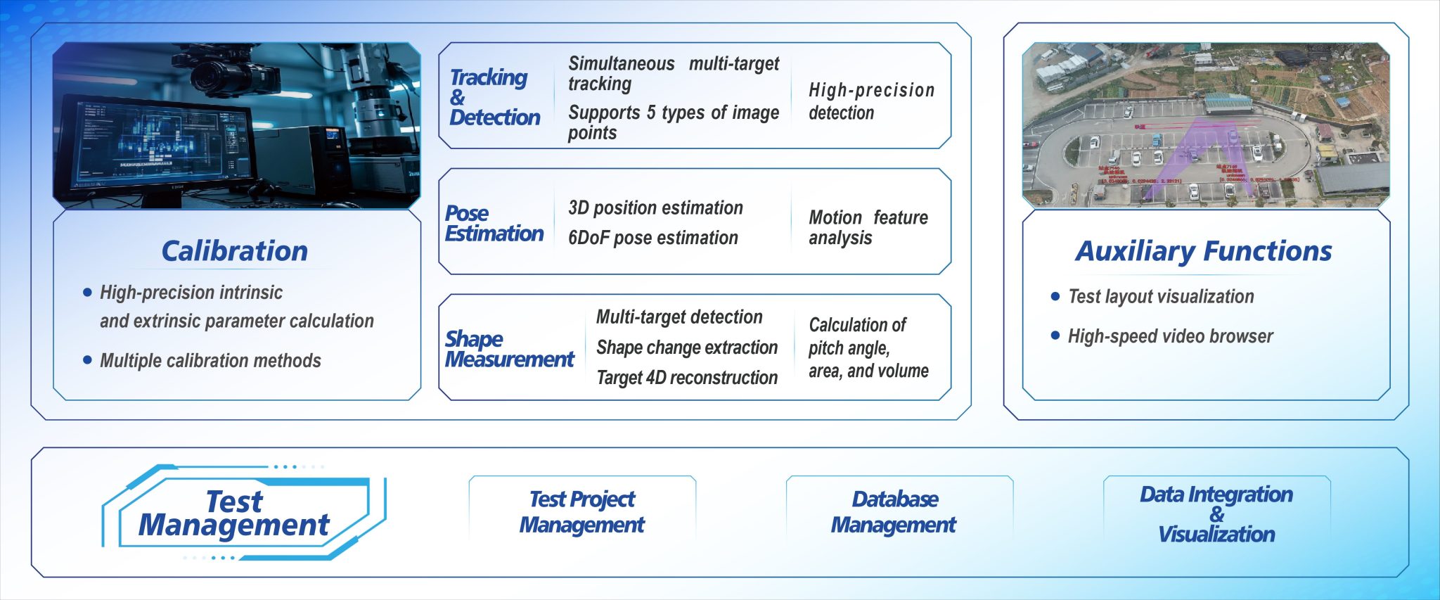
– Baseline test: fixed waypoint flights to measure mean absolute error and latency under nominal conditions.
– Stress test: varied speeds and altitude bands to probe target tracking limits and sensor fusion failure modes.
– Integration test: pipe telemetry into your GIS and confirm coordinate transforms and time stamps align.
Include {main_keyword} and {variation_keyword} in the teardown checklist to ensure suppliers account for your specific indexing and naming conventions. Also verify continuous logging, frame rate behaviour under load, and whether the vendor provides calibration matrices for long-term drift correction.
Three golden rules for selection
1) Prioritise validated accuracy over marketing specs — require a third-party or city-run flight log for verification.
2) Demand transparent interfaces and raw data access so you can re-process for future assumptions; closed stacks limit reuse.
3) Plan for operations: cadence for sensor calibration, storage budgeting for high frame rate captures, and a clear incident-response playbook.
The right toolset reduces rework in planning and speeds operational acceptance — and when you need robust, field-proven 6DoF outputs, consider systems that supply both analytics and raw telemetry such as the 6dof tracking system.
Icecypress Technology sits at the intersection of reliable tracking and practical urban deployment. A short note — start simple, validate quickly, scale thoughtfully.